
Feb
27
2023
I love maps. As the old joke goes: "geology rocks, but geographers know where it's at!"
While researching mapping sites, tips, and resources, I found this great mapping resource site by cartographer Tom Patterson. If you make maps, if you...


Mar
15
2016
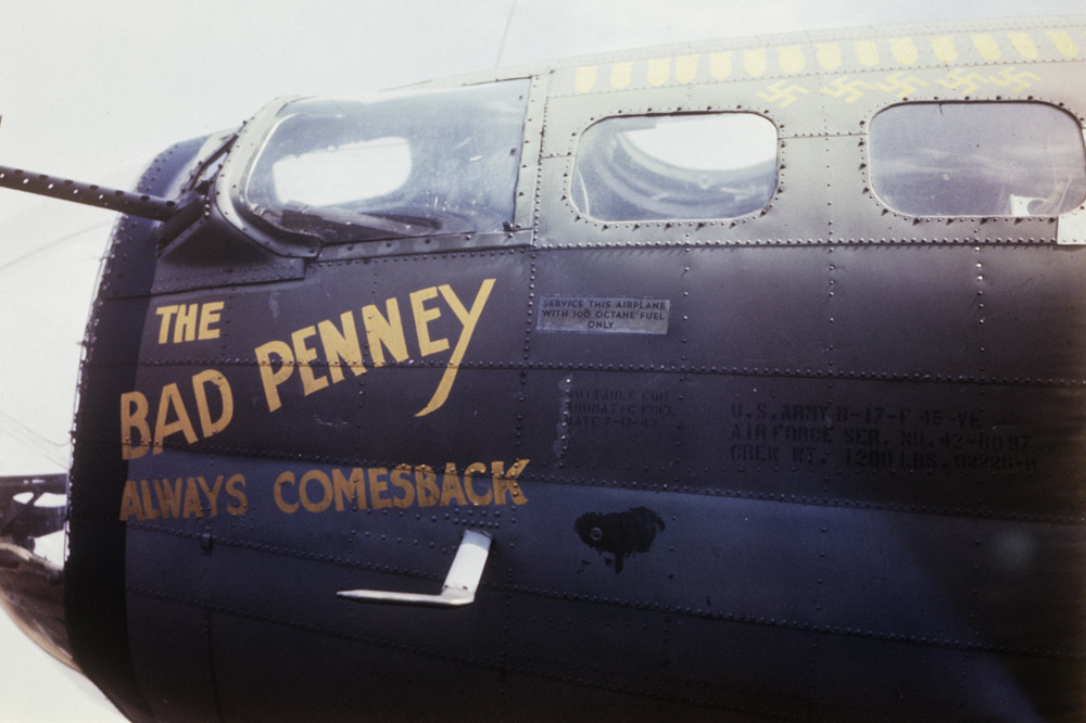
A friend of mine showed me this amazing animated visualization and I had to pass it along. It points out the location of every bombing raid by the RAF or the US Army Air Forces during the second world...

Jul
12
2015
Old NYC: Mapping images from the NY Public Library is an amazing site. Historical photos from the New York Public Library are geolocated to a map of NYC. Interested to see Times Square throughout time? Times Square!
For someone who...
Oct
05
2011
Another Wednesday has rolled around, so here’s my weekly collection of interesting digital ephemera I’ve found poking around the vast Internet wasteland. Think of me as your guide through the eclectic digital desert…
Today's Menu
Art & Design
Motion Graphics & Video
Marketing
Social Media
Something Cool
Something...
Mar
04
2010
Design Something Everyday 11/365: In honor of my love of maps, information graphics and Virgil, I decided to imagine Aeneas journey as if it were a subway map. So enjoy. Don't forget your subway token's for Charon!
I have always...


